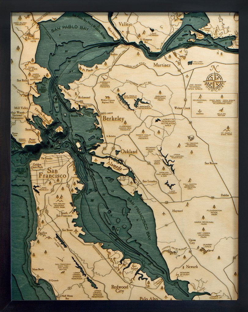
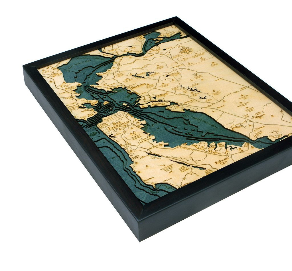
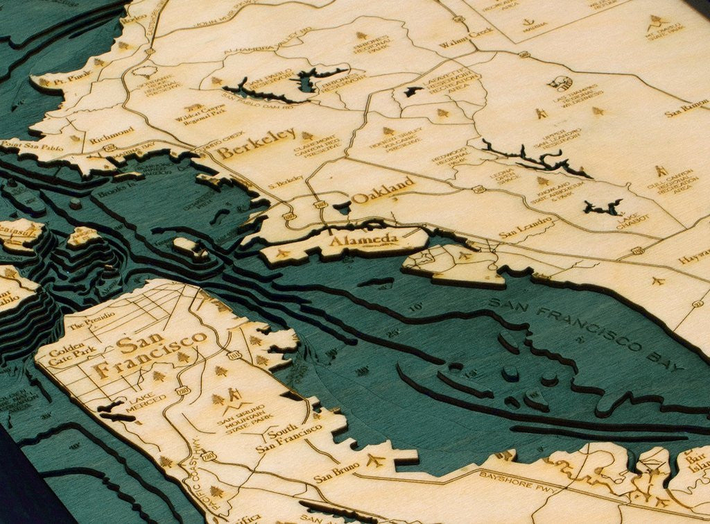
San Francisco, California 3-D Nautical Wood Chart
ei home
$180.00
A shallow, productive estuary, San Francisco Bay connects the Sacramento and San Joaquin rivers with the Pacific Ocean. Gathering the rainfall and snowmelt from an enormous watershed, these outflows drain approximately 40% of California into the bay, which then flows out (under the Golden Gate Bridge) into the Pacific Ocean. It's the largest Pacific estuary in the Americas and, despite significant mining- and construction-related damage over the past century, it remains a rich part of the coast.
Points of Interest: