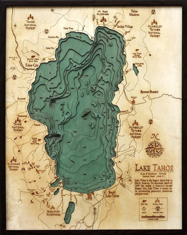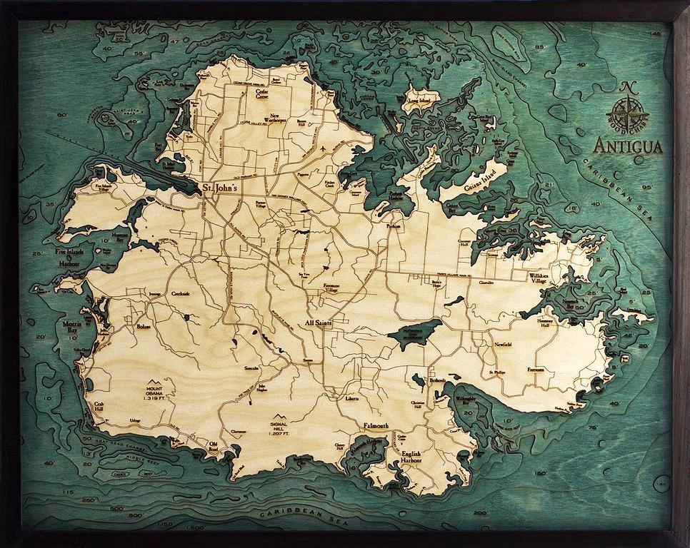
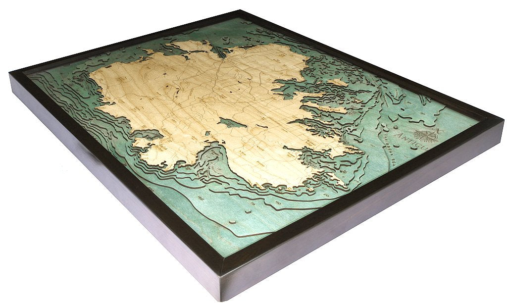
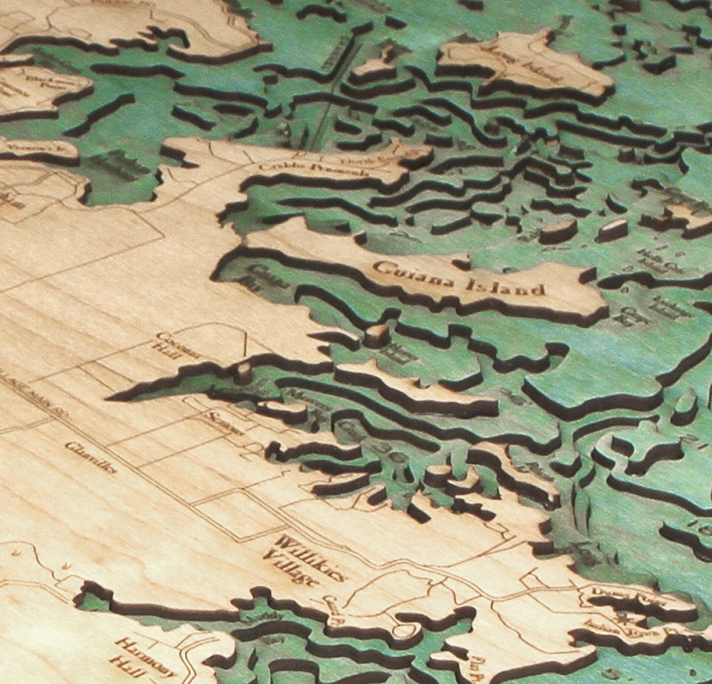
Antigua 3-D Nautical Wood Chart
ei home
$259.00
A 3-D nautical wood map featuring the breathtaking island of Antigua, located in the Caribbean Sea. It is the largest of the English-speaking Leeward Islands and is one of the Caribbeans premier tourist destinations.
Points of interest include:
St. John's, Falmouth, and English Harbour, home to the world famous Antigua Sailing Week.
Our wood charts are made from Baltic birch and have a solid wood frame.